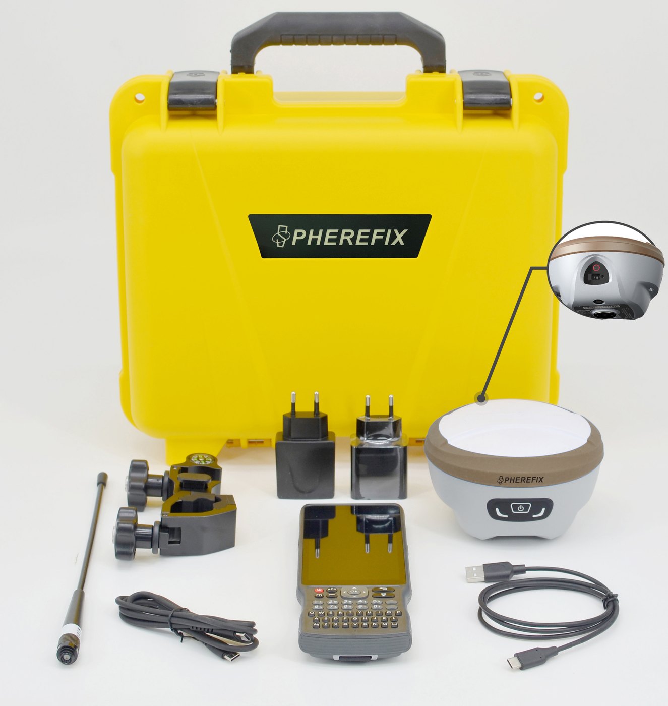
RTK GNSS Receivers
SP10, SP20, SP30, SP35 and base/rover kits for surveying and construction.
South America-ready high-precision positioning solutions for surveying, construction, GIS, agriculture, hydrographic survey, SLAM and monitoring, supported by local demo, delivery, training and after-sales service.
Spherefix video
Use this video block as a high-trust touchpoint for overseas buyers who want to understand product appearance, field workflow and brand credibility before sending an inquiry.
View YouTube ChannelProduct category hub
SP10, SP20, SP30, SP35 and base/rover kits for surveying and construction.
Rugged Android controllers for field collection, CAD maps and RTK workflows.
External radios, correction links and Spherefix field software ecosystem.
SAG10 auto steering and SAG20 land leveling for accurate field operations.
SMC10 dozer control and SMC20 excavator guidance for earthwork projects.
SPCraft professional unmanned surface vessels for hydrographic surveying.
Sphere360 handheld LiDAR scanner for fast 3D point-cloud capture.
CORS/reference station and deformation monitoring equipment for infrastructure.
Featured models
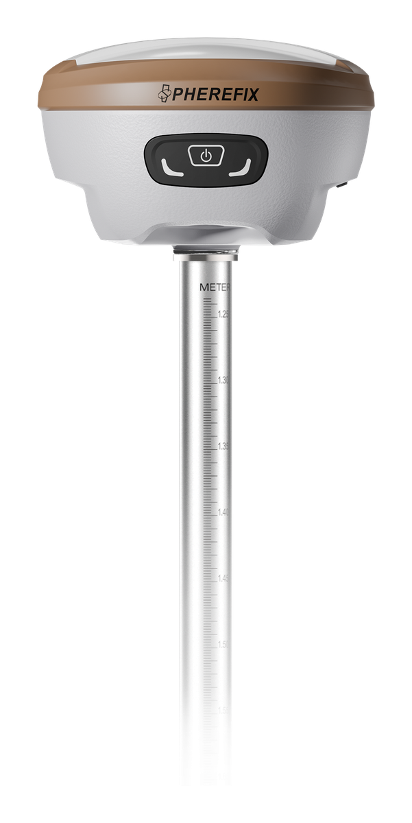
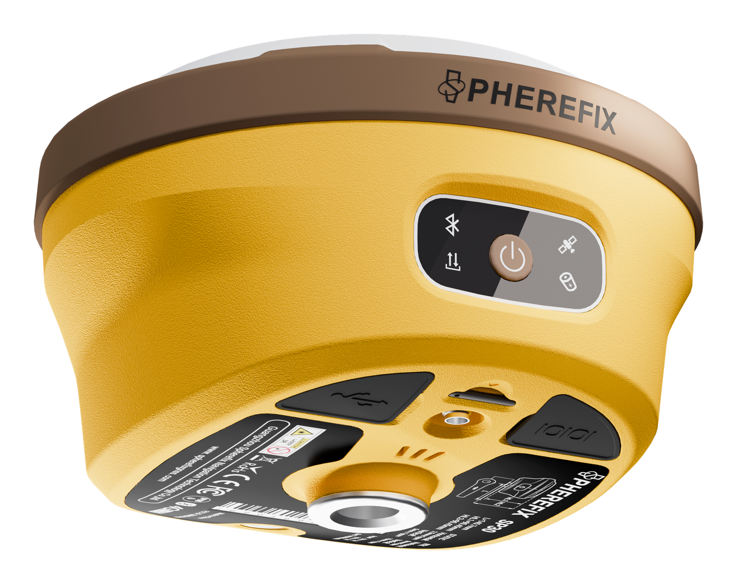
Compact multi-band RTK with AR real-scene stakeout, laser surveying and IMU tilt.
View template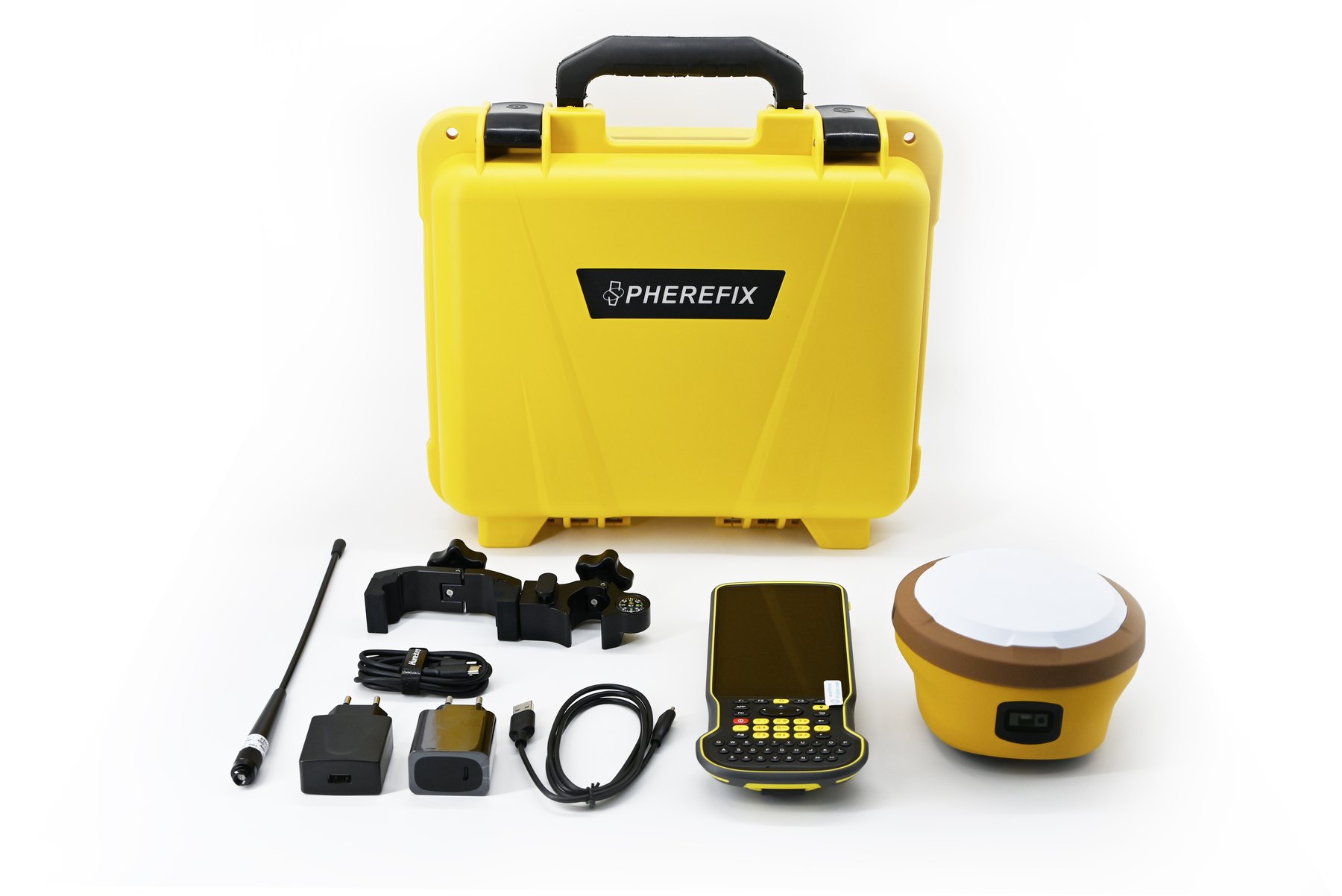
All-frequency receiver with AR stakeout, camera-assisted laser measurement and LoRa radio.
View template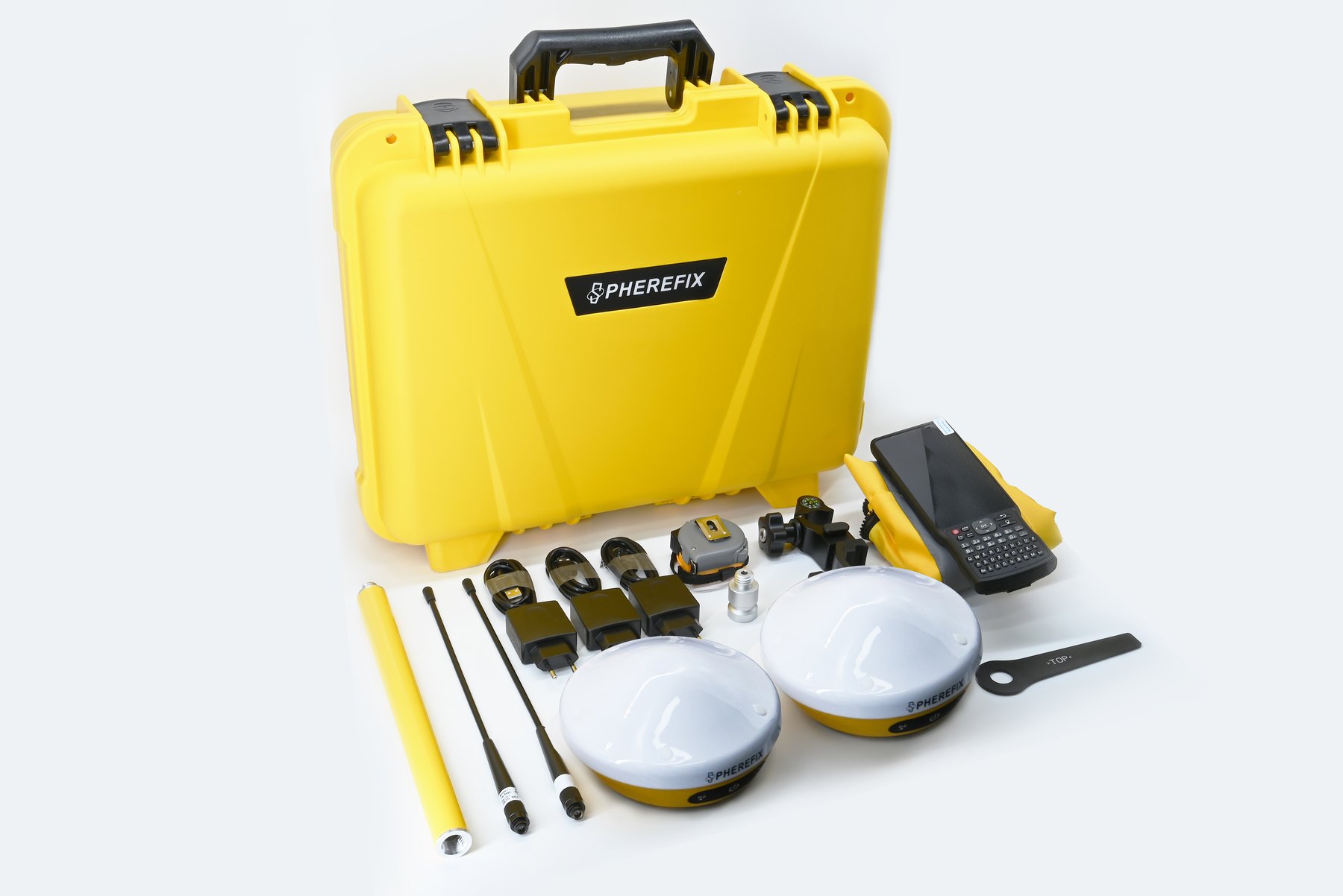
Lightweight receiver for cost-effective field teams and dealer bundle sales.
View template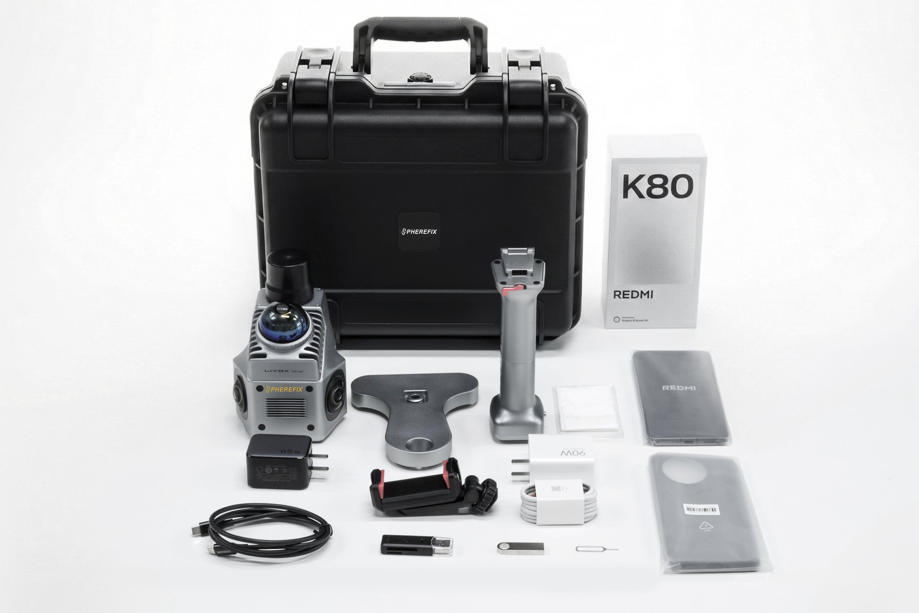
Ultra-light handheld scanner for urban, infrastructure, indoor and outdoor capture.
View template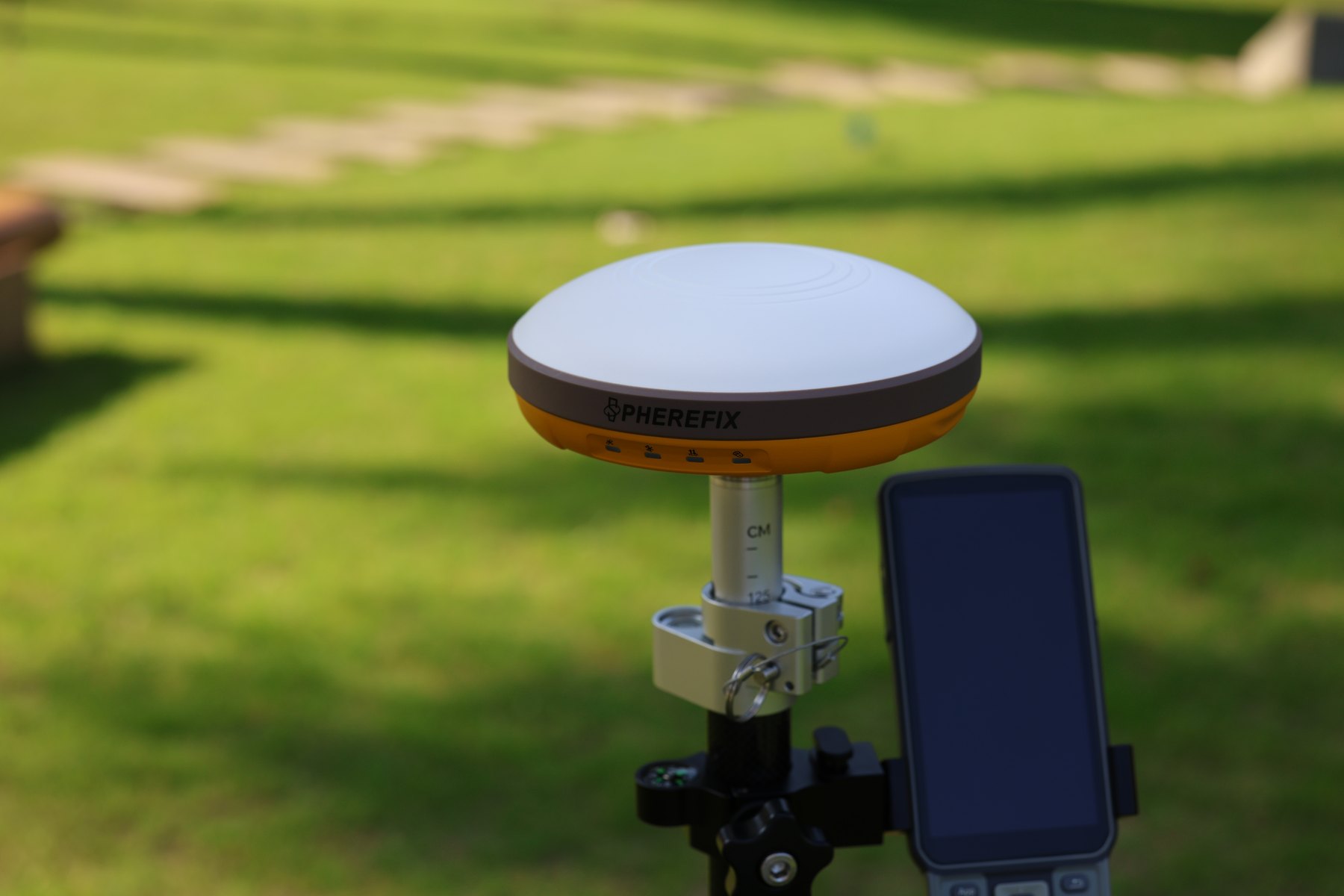
Solutions architecture
Competitor-style structure should be used for information architecture only: category hub, application hub, product comparison, guides, downloads and FAQs. Spherefix brand, colors, product names and claims stay consistent with official materials.
Product detail template
This template follows high-converting B2B product page patterns: product positioning first, then proof, applications, verified specifications, official files, related products and inquiry.
Open SP35 template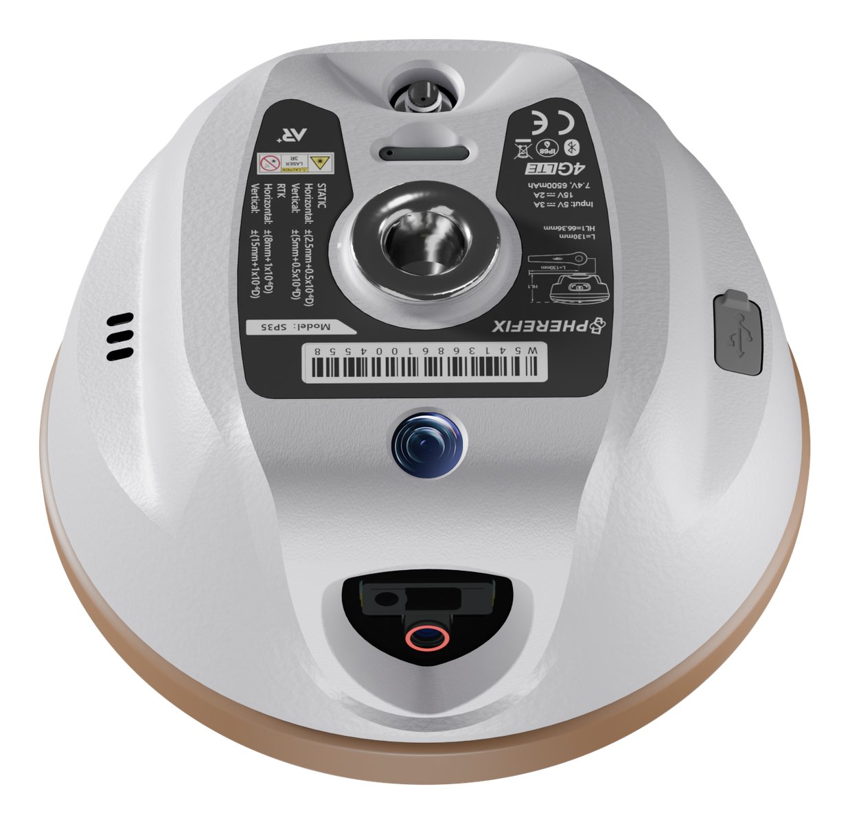
SEO, AIO, GEO and ads planning
Build product hubs, application pages, comparison pages, guide content and clean internal links.
Create product and application landing variants for Google Ads, Meta Ads, LinkedIn and trade shows.
Use clear definitions, FAQ blocks, Product schema, Organization schema and source-backed specs.
Contact and local service