
Land Surveying
Land Surveying solution planning
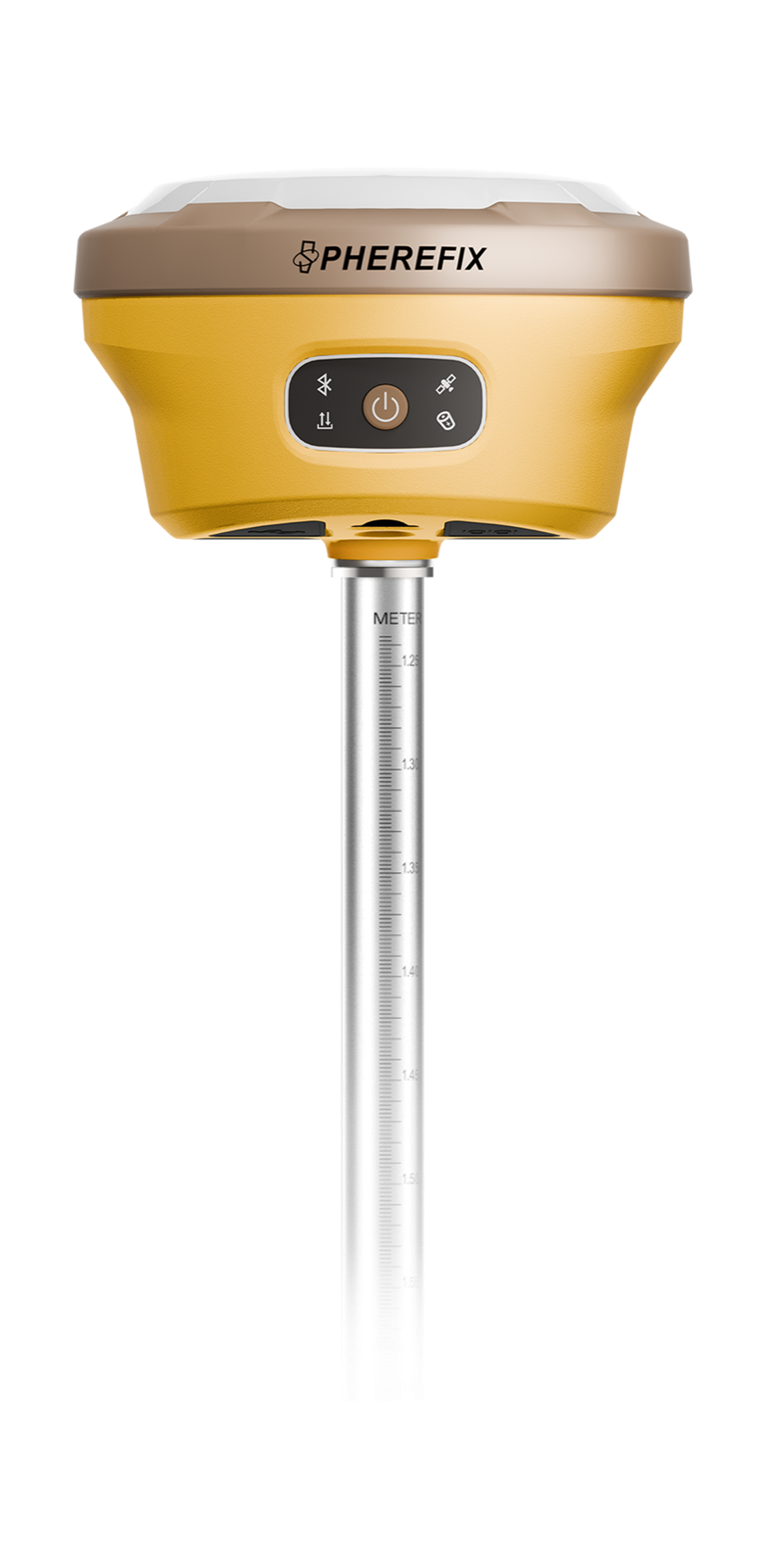
RTK receiver workflows for topographic survey, cadastral measurement, control points and daily dealer demonstrations.
Confirm working environment and expected deliverable Choose product family before exact model comparison Prepare country, quantity and delivery timeline for quotation
Ask for recommendation