Product hub
Spherefix product categories for overseas B2B buyers.
Browse GNSS RTK receivers, controllers, agriculture guidance, USV hydrographic survey, SLAM LiDAR, monitoring and support categories. Each product page is structured for SEO, AI search and quote conversion.
Controllers
Controllers & Field Terminals
Rugged field controllers and handheld terminals for RTK data collection, CAD maps, stakeout and field software workflows.
Inquiry only
View category 
Agriculture
Precision Agriculture
SAG10 agriculture guidance and auto-steering workflows for farms, contractors and dealer demo projects.
View category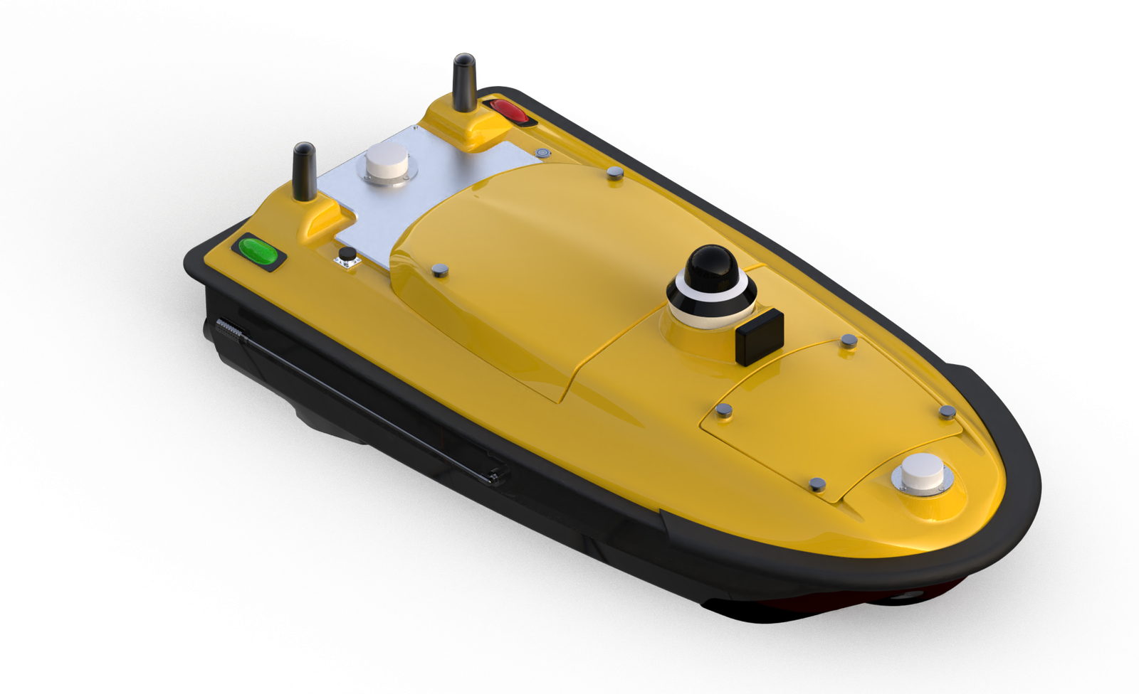
USV
USV & Hydrographic Survey
SPCRAFT unmanned surface vessels for hydrographic survey, waterway mapping and measurement projects.
View category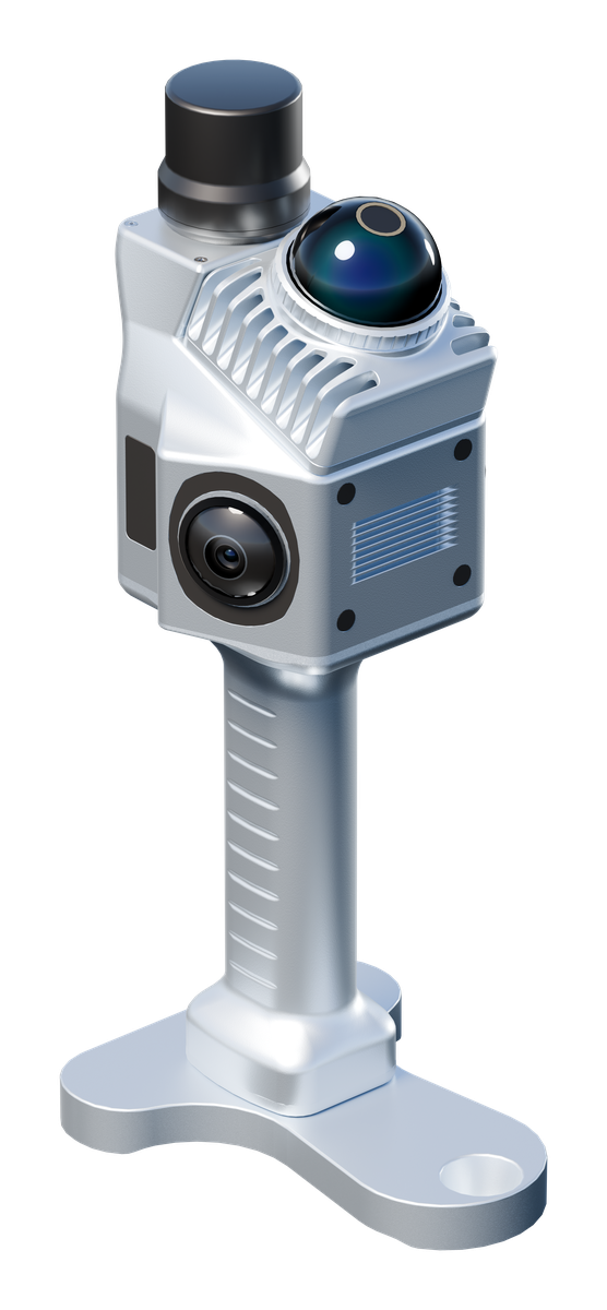
SLAM LiDAR
SLAM LiDAR Mapping
SPHERE360 handheld SLAM LiDAR for fast point-cloud capture in indoor, outdoor and infrastructure scenes.
View category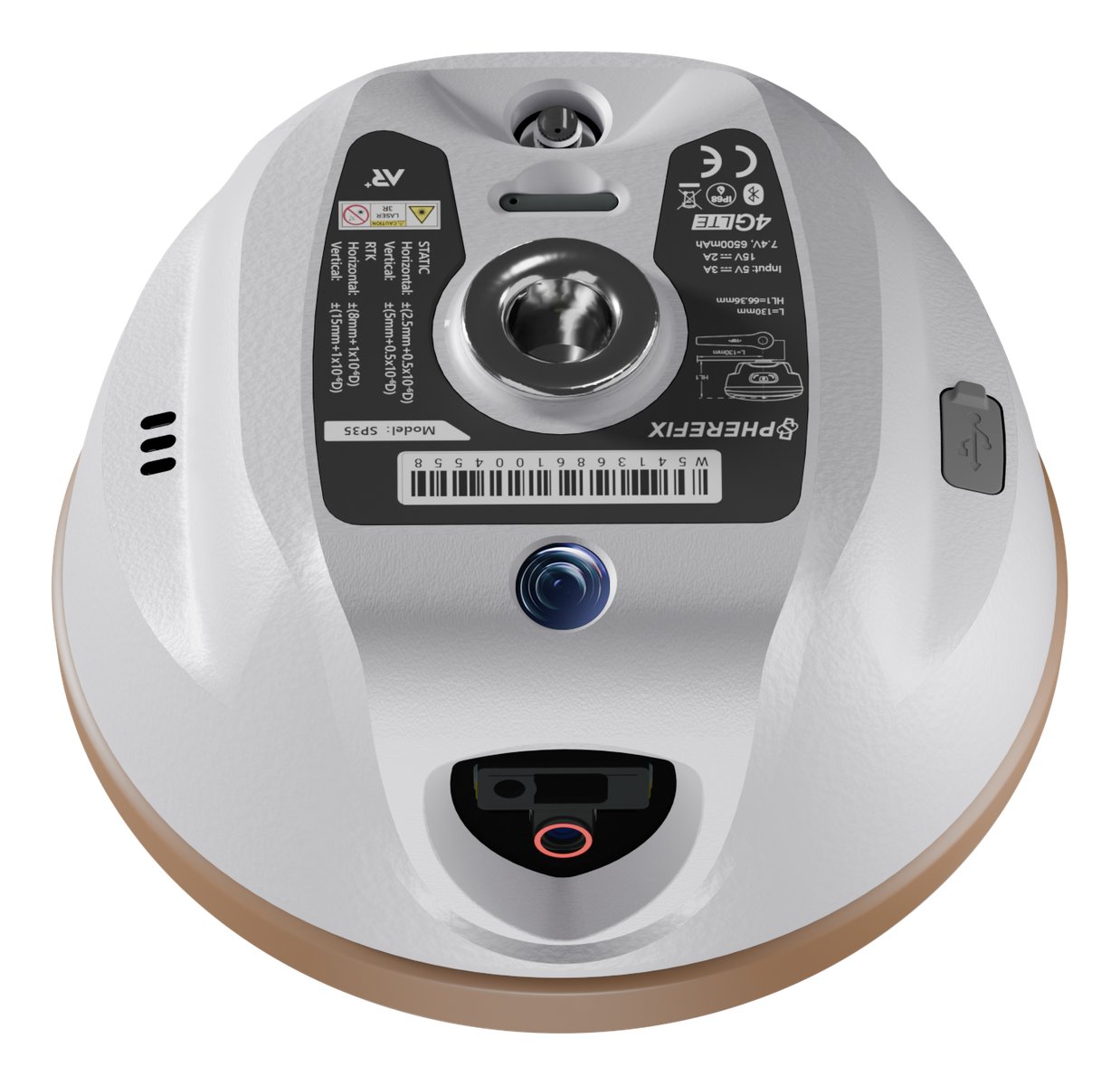
Monitoring
Monitoring Solutions
Reference station, deformation monitoring and infrastructure observation workflows built around reliable GNSS data.
Inquiry only
View category DataLink
DataLink & Software
Correction links, field software, radio options and workflow support for base-rover and NTRIP deployments.
Inquiry only
View category Accessories
Accessories & Support
Pole, bracket, charger, cable, carrying and training support needed to prepare a complete dealer delivery.
Inquiry only
View category